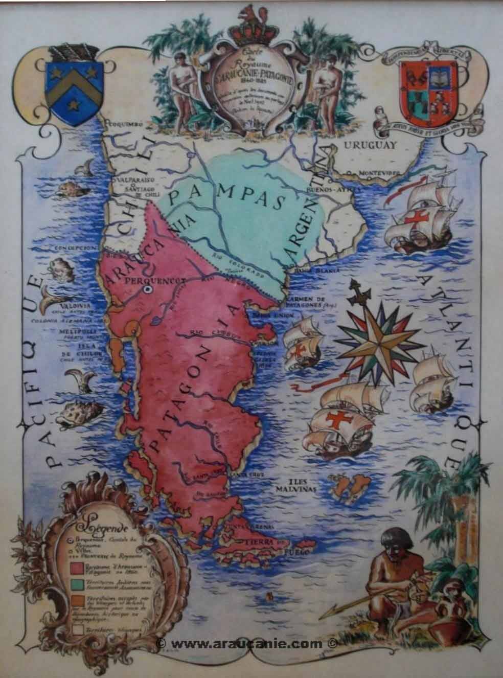
Three 19th century maps of the Kingdom of Araucania and Patagonia are known. All three are drawn by A. Andri - an otherwise unknown cartographer. Two of the three maps are housed at the Foreign Affairs Archives of the Republic of France. The map illustrated here is one of the maps in the French Archives. This image is taken from Jutta Muether's dissertation on the Kingdom of Araucania.
A second map, shows battle plans for a confrontation between the Kingdom of Araucania & Patagonia a the Republic of Chile. This map is interesting as it shows Bolivia and Peru allied with the Kingdom of Araucania and Patagonia.
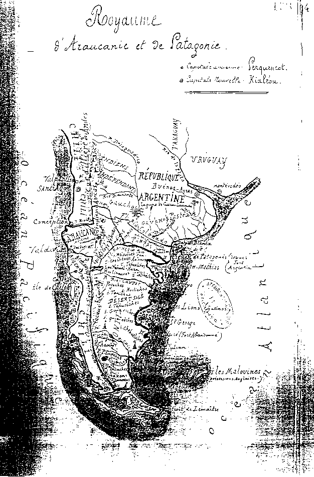
A third map drawn by Andri is in the rare map collection of the University of Antwerp, which acquired the maps from the Royal Geographical Society of Antwerp in 1993. This map was printed on a large single sheet - approximately 22 x 17 inches - half of the sheet devoted to the map, and the other half to a description of the Kingdom and its political situation.